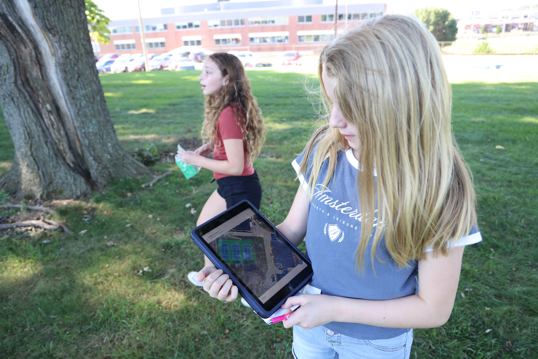
 Sixth graders in Matt Loyet’s social studies class participated in a treasure hunt. Using specific coordinates and satellite mode on Apple Maps, the students went outside on Tuesday and looked for gold coins that Loyet had hidden around Holman Middle School.
The class learned about latitude and longitude during a geography unit and Loyet spent about three hours outside putting together the scavenger hunt for his students.
Loyet hid 10 gold coins for each class and shared the specific coordinates list with the students. Two of the hidden coins had an extra location taped to them leading them to a special prize.
“I found one of the bonus coins that had another location on it and then we typed those coordinates into our iPad,” Talia Masin said.
A geographic coordinate system divides the earth into latitude lines, which indicate how far north or south of the equator a location is, and longitude lines, which indicate how far east or west a location is of the prime meridian. All of the coordinates used in Tuesday’s lesson had a positive latitude line (above the equator) and negative longitude line (west of the prime meridian).
“When you put the coordinates in, it shows the exact location,” Avery Harper said. “We knew right away we needed to look around the trees next to the picnic tables.”
Each coin found earned a group a DOJO point. The two bonus coins led students to a prize bag with 15 Pirate Pride tickets.
When Aliyah Brown found the prize bag, she excitedly held it above her head until her group caught up to her.
“We had to work together,” she said. “We had to go fast in order to make sure we were the first ones to find it.”
Gallery: https://pattonvillesd.smugmug.